
Love having safe places to cycle? Want to help the influence where the City installs cycling infrastructure? Join the annual Pedal Poll!

Updates on the work of our data group
Love having safe places to cycle? Want to help the influence where the City installs cycling infrastructure? Join the annual Pedal Poll!
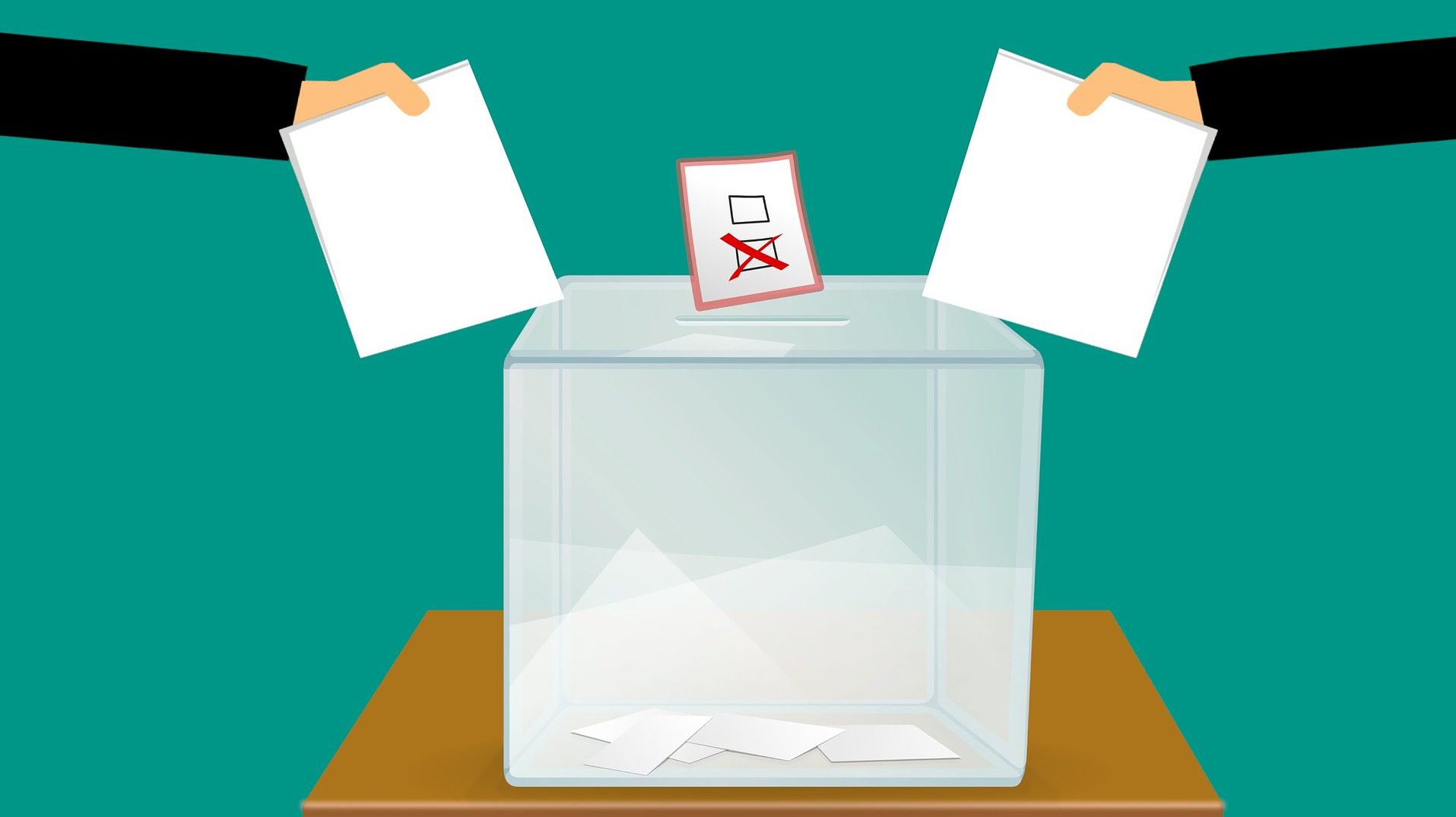
The Cumberland By-election vote is October 5th, 2020 and we asked candidates to partake in a survey about active transportation in Ottawa and the Ward.
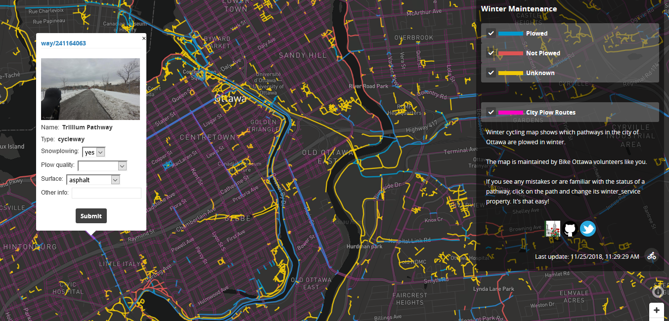
Bike Ottawa is pleased to announce that we have developed a new map that shows you what routes are plowed in winter.
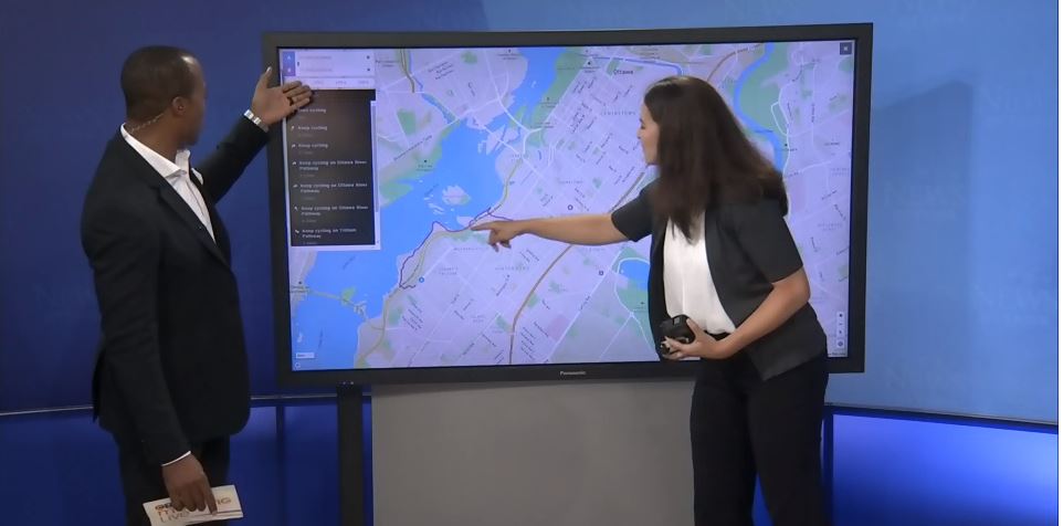
On August 23, Bike Ottawa president Heather Shearer got up really early for a 5 minute interview on CTV Ottawa.