
Councillor Jeff Leiper and Bike Ottawa today released a report prepared for Councillor Leiper on the safety and connectivity of Ottawa’s bicycle network. The entire report is on line.
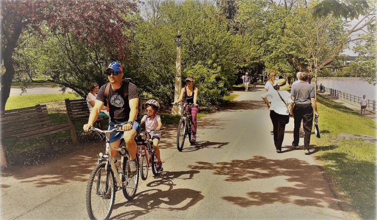
We took a closer look into how to create a faster uptake in local cycling: cycling adoption can be increased by developing a low-stress network that is comfortable and where the perceived level of danger is low.
Varying quality of the network
Cycling is increasingly seen as a practical transportation choice for people of all ages and abilities. Our approach to planning cycling infrastructure should also adapt to accommodate cycling for everyone. The cycling network in Ottawa includes infrastructure of varying quality and safety, and in some places, critical connections are missing. To optimize the utility of future additions to the network and appeal to all ages and abilities, it is important to make planning decisions that prioritize high-quality cycling connections.
Exciting times for cycling in Ottawa
This is an exciting time for cycling. Much of our older infrastructure needs to be rebuilt, which allows us to redesign our public spaces, based on current insights into environmental stewardship, public health, demographic shifts, and efficient transportation systems. Cycling ridership numbers are steadily increasing; nearly 5% of the population inside the Greenbelt now uses a bicycle to go to work. Ottawa is also undergoing major changes as we expand our light rail system in the coming years. We are about to update our Transportation Master Plan. Importantly, other levels of government are seeing the benefits that come with increased uptake of walking and cycling; federal and provincial funding is now being made available for active transportation, and has been used to enhance and accelerate Ottawa’s cycling plan
Develop a low-stress network
Cycling adoption can be increased by developing a low-stress network that is comfortable and where the perceived level of danger is low. There is a massive opportunity to increase cycling uptake in Ottawa by building infrastructure that appeals to those who prefer protected bicycle facilities. This group accounts for a large minority of the population in all areas of the city. The Mineta Transportation Institute in the United States recognizes this varying range of comfort in traffic by assigning four classifications of traffic stress to cycling facilities. The “level of traffic stress” (LTS) system assigns a rating from 1 to 4 calibrated to the population willing to tolerate the stress experienced while using particular infrastructure. LTS forms the basis for a series of new mapping tools created by Bike Ottawa, which are available at maps.bikeottawa.ca
To optimize the utility of future additions to the network and appeal to all ages and abilities, it is important to make planning decisions that prioritize high-quality cycling connections.
Levels of traffic stress comfort
The value in these maps is that users can set a maximum level of traffic stress comfort. The routes plotted will not exceed that level of traffic stress. In doing so, the maps often reveal missing links in infrastructure that are barriers to a safe and pleasant journey by bike. Therefore, these maps can be used to make planning decisions to address the gaps. The maps can also be used as a measure of success: when the safe low-stress routes are approximately the same distance as the most direct routes, this is a sign of a complete and user-friendly cycling network.
Specific recommendations for improvements
These tools are useful for highlighting barriers in the cycling network that are preventing more widespread adoption of cycling. Based on the missing links we identified, Bike Ottawa made specific recommendations for improvements to encourage more uptake of cycling in the immediate area. Often, these recommendations are simple measures such a curb cuts, improving the pathway surface conditions, or installing wayfinding signage. Other measures, such as redesigning an intersection or providing a protected cycle facility are more expensive, and just as necessary.
Renewing our Transportation Master Plan and Ottawa Cycling Plan
This method of identifying missing links in the local cycling networks should prove to be generally useful to the City of Ottawa as we renew our Transportation Master Plan and Ottawa Cycling Plan. By providing this new tool for analyzing our current cycling network and identifying areas for improvement, Bike Ottawa is hopeful that staff and residents alike will be able to identify and prioritize opportunities for making Ottawa an even better city for cycling.
Read the full report here (in PDF, 9.4 Mb)